|
|
Geopartner Inżynieria Sp. z o.o. (2018-present)
|
|
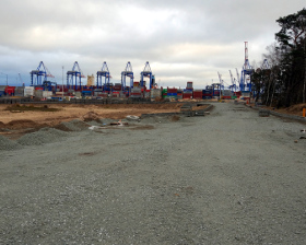
I'm currently responsible for analyzing and documenting a survey data obtained for various construction sites including road, railway and port infrastructure. The major projects: Deepsea Container Terminal expansion, Overpass/Wiadukt Biskupia Górka.
|
|
|
|
|
|
|
|
|
|
EQUIPMENT USED:
-
|
|
SOFTWARE USED:
- ZWCAD;
- SBG Geo;
- TurboMap.
|
|
|
|
|
|
|
|
|
|
|
GEODET s.c. Wojciech Bala, Elżbieta Bala (2015-2018)
|
|
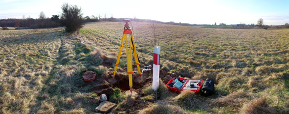
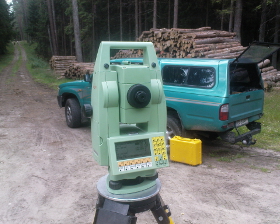
I was hired as Land Surveyor (previously had an internship as assistant) in one of the largest Land Surveying companies in Koszalin, Poland. My main activities consist of operating GNSS receiver, total station and automatic level, as well as processing data obtained by measurements. Most surveying jobs are related to energy industry – creating topographical maps, staking out and measurements of infrastructure after it is constructed – which include working in proximity of power lines (110 kV, 15 kV, 400 V) and gas pipelines.
|
|
|
|
|
|
|
|
|
|
EQUIPMENT USED:
- Leica FlexLine TS06;
- Leica TC805L;
- Leica GPS 1200;
- Ni 020 A.
|
|
SOFTWARE USED:
- TurboMap;
- AutoCAD;
- WinKalk;
- EWMAPA.
|
|
|
|
|
|
|
|
|
|
|
Virtual Sculptures and Monuments - In Koszalin and Around (2017-present)
|
|
The project uses a processed laser scanner and photography data to interactively visualize local sculptures and monuments. Presented 3D models are textured and become valuable cultural heritage data in case of acts of vandalism, accidents or censorship.
|
Comparison of Dense Stereo Matching and Laser Scanning
on the Example of Chosen Sculptures and Monuments
(2013-2014)
|
|
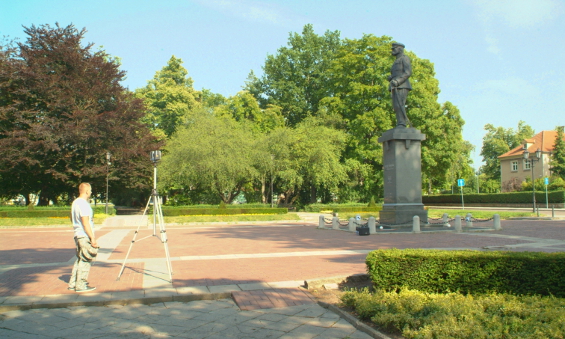
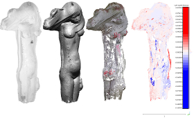
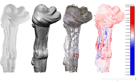
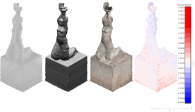
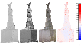
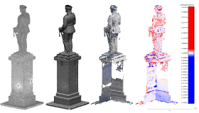
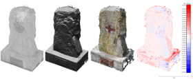
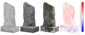
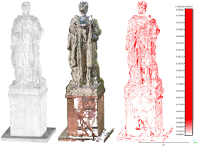
The master’s thesis comparing two methods of land surveying – Laser Scanning and Dense Stereo Matching, which uses image pair detection from unsorted cluster of photos lacking exterior and interior orientation data and processes them to colored point cloud result. The context of measurements was to create point clouds of sculptures and monuments. Six exemplary objects varying with size, material, reflection and detail level were chosen locally in the city of Koszalin, Poland. Distances of control lines were measured on two models (from a scanner and from cameras), as well as directly on each object using measuring tape. Differences for each measurement, along with derived arithmetic means and standard deviations were presented as result. The comparison was also performed in CloudCompare software using Cloud to Cloud algorithm resulting in both digital and graphical results. The thesis consists of 145 pages in total.
Dr hab. inż. Wolfgang Kresse was the supervisor of this thesis.
|
|
|
|
|
|
|
|
|
|
EQUIPMENT USED:
- FARO Laser Scanner Focus3D X 130;
- Leica TCRP 1201 R300;
- Fujifilm FinePix S3Pro;
- Kodak EasyShare Z950;
- Pentax K-50.
|
|
SOFTWARE USED:
- FARO SCENE;
- Leica Geo Office;
- VisualSFM;
- Agisoft PhotoScan;
- CloudCompare;
- MeshLab.
|
|
|
|
|
|
|
|
|
|
|
The Usage of GPS Technique to Measure Horizontal
Displacements of a Chosen Infrastructure Object
(2011-2012)
|
|
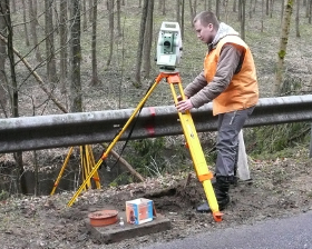
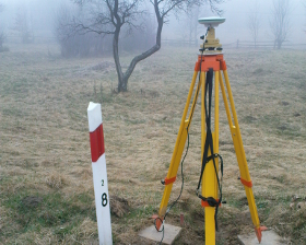
The bachelor’s thesis is an example of GPS technique used to measure horizontal displacements of remote Polish Route 163’s section located almost at the bottom of steep valleys covered with forest. The results of measurements were presented in Geodetic Coordinate System 2000, as well as in local systems as an absolute displacements. To confirm the results, a distance measurement between control points had been performed using precision total station and the distance differences were calculated (relative displacements). The time interval between two measurements lasted one year. Additionaly, vertical displacements were also measured for this object using precision digital level. The thesis consists of 88 pages in total.
Dr inż. Krzysztof Deska was thesis supervisor and Marcin Gumul was coauthor.
|
|
|
|
|
|
|
|
|
|
EQUIPMENT USED:
- Leica TCRP 1201 R300;
- 3x Leica GX1230 (with AX1202 antennae);
- 2x Leica Viva GS15;
- Leica DNA03.
|
|
SOFTWARE USED:
- Leica Geo Office;
- AutoCAD.
|
|
|
|
|
|
|
|
|
|
|
Apprenticeships at Daniel Tusk’s Land Surveying and Soil Classification Services
Polish: Usługi Geodezyjne i Klasyfikacja Gruntów – Daniel Tusk
(2011)
|
|
I was an apprentice at small local (Koszalin) Land Surveying company as a 3-month replacement of full-time employee, whose position was land surveyor assistant. I worked on surveying sites (forests, private parcels and construction sites), as well as in the office. My responsibilities included operating total station, automatic level and gps receiver. In the office I wrote mandatory reports from measurements, managed the data (import, processing, export) and created digital maps (or rather updated current ones).
|
|
|
|
|
|
|
|
|
|
EQUIPMENT USED:
- Leica TPS 1100;
- Trimble GPS;
- Sokkia.
|
|
SOFTWARE USED:
- Leica Geo Office;
- AutoCAD;
- TurboMap;
- WinKalk and MikroMap.
|
|
|
|
|
|
|
|
|
|
|
|
|
|
36
years old land and utility surveyor, experienced gamer and level designer, the Master of Science Engineering (MSc Eng) in the field of Land Surveying and Cartography at Koszalin University of Technology. The fan of post-apocalyptic, science-fiction and military theme. Previously airsoft player.
PC gaming experience include mostly tactical games, battlefield simulators, role-play and shooters which use realism, science fiction and post-apocalypse motives. I also started to catch up with recent fantasy games. My most important game titles are:
Fallout, Mass Effect, Half-Life, Counter-Strike, S.T.A.L.K.E.R., Rainbow Six, Operation Flashpoint and Armed Assault (ArmA), The Witcher, Dragon Age and many others...
|
|
|
|
|
|
|


